

A Lookback: The History of GPS and Telematics
October 7, 2021
“It’s been said that looking back into the past provides a vision of the future. The more we look behind us, the more we can plan for what’s ahead of us.” – NASA
GPS, which stands for Global Positioning System, is a technology that involves navigation and telecommunications. Today, it is hard to imagine a world without it. This is especially true for companies who rely on technology and telematics to track their fleets, optimize their delivery routes, reduce their costs, as well as a host of other complex applications leveraged by fleet operators.
However, it wasn’t long ago that fleets made use of actual physical maps for navigation, as well as use pen and paper logbooks to track their routes and other important details.
So how did GPS come about and how did it help create what we now know as telematics? Let’s begin to understand its history.
How GPS Technology Began
GPS has its origins in the military. It was during the 1960’s Sputnik era that the idea to create GPS was invented. The U.S. The Department of Justice, together with the John Hopkins University Applied Physics Lab began to develop GPS using satellites in the sky, with receivers on the ground. This new technology would help the military track their equipment and soldiers in the field.
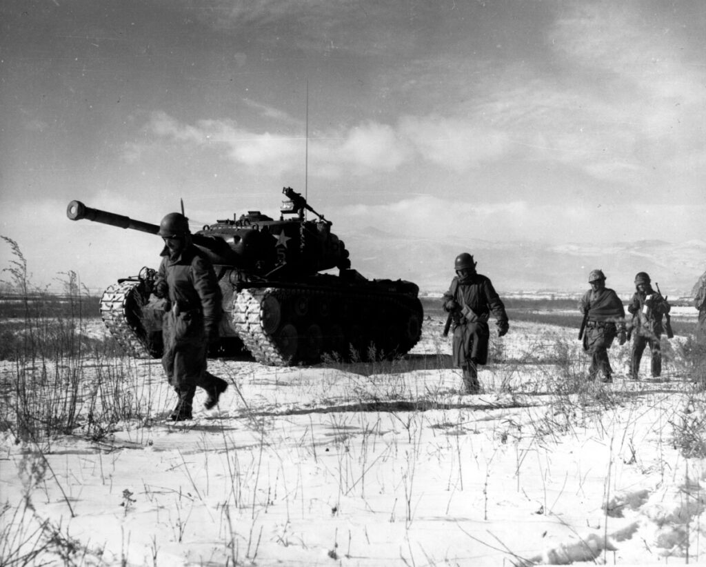
During times of war, intelligence is considered to be half the battle, and the United States wanted to create a tracking system amid heightened Cold War tensions during the decade.
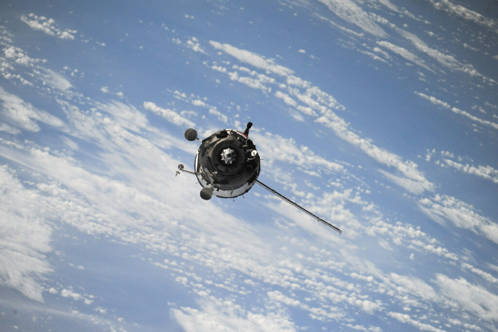
As the technology improved, the US Navy was able to use satellite navigation experiments to track their submarines carrying nuclear missiles. The technology involved tracking the satellite with shifts in radio signal – known as the “Doppler Effect.”
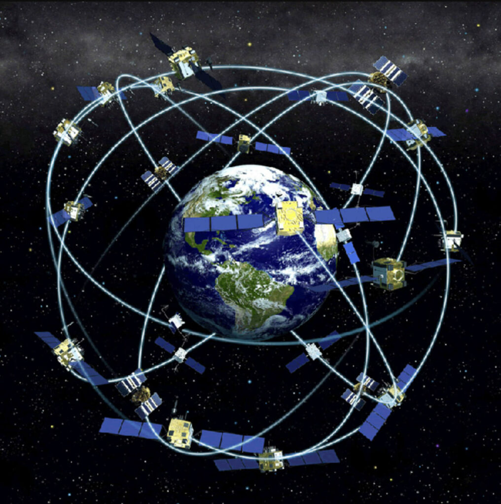
In 1978, NAVSTAR 1 was launched, which was the first-ever GPS satellite. In these early years, GPS technology was not fully operational due to the small number of satellites orbiting the Earth.
Over the course of the next 10 years, nine more NAVSTAR satellites were launched. It took until January 17, 1994 – when the 24th satellite was finally launched – that GPS technology had the required network of satellites and became fully functional.
Today, the US Air Force continues to manage and monitor the system. The US government has also committed to having at least 24 satellites in operation, and available to the world 95% of the time.
Commercial GPS Tracking Systems
GPS was originally kept private by the US for exclusive military use. The military did not intend to ever make GPS public. However, when an international tragedy struck in 1983 – a Korean airline drifted into Soviet airspace and was shot down, killing all 269 passengers and crew – the US decided to reconsider that decision and make GPS technology available to the public in the hopes of preventing any chance of a repeat event occurring.
US President Ronald Reagan made the announcement later that year and GPS became available to civilian industries. However, in the early days of GPS, there was a limit to the accuracy range of the public GPS technology. In fact, it only had an accuracy range of 300 feet, as compared to the accuracy range of centimeters as used by the US military.
This limit was called the SA (Selective Availability), which was put in place by the US government to prevent the use of GPS technology against them.
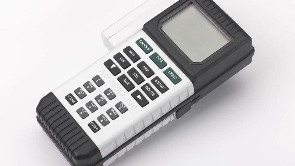
The first ever commercial GPS technology available for civilians was the NAV 1000, which was manufactured by the electronic navigation company, Magellan. This portable GPS receiver weighed 1.5 pounds, and cost $3,000.
It ran completely on battery, and could only be used for not more than 2 hours at a time. Aside from the military, commercial GPS devices were limited to the applications of freights, delivery companies, and others who could afford the expensive systems.
Accessibility and GPS Use Improved
On March 29, 1996, then President Bill Clinton determined that GPS technology would be an asset for civilian use. He issued a policy that made GPS an international utility. Private individuals and companies have been able to use the technology ever since.
In 2000, President Clinton lifted the Selective Availability limit, improving the accuracy of GPS technology. Today, the accuracy range of GPS is now at 40 feet.
This policy and further advancements have made devices and equipment with GPS a common technology. Its use is applied in almost every industry, from farming, aviation, to construction, and of course, companies that have improved their fleet operations due to the availability of real time and historic data using telecommunication networks.
GPS and Fleet Management
By the mid-2000s, navigation technology had improved and expanded to include tracking systems. These new GPS tracking systems provided incredible real-time and historic information about the status, location, performance, and just about anything you can think of on the vehicles and equipment with the technology installed.
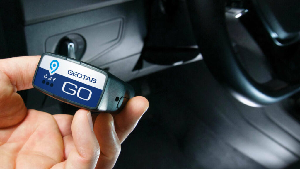
The onset of the internet also vastly increased how GPS technology could be used by companies and fleet managers to operate and manage their assets. Aside from just location information of vehicles, GPS devices also provide fleets with electronic logging, driver performance data and coaching, and even engine maintenance and status reports. Much of what is now known under the term – telematics.
Telematics is a method of monitoring an asset (car, truck, heavy equipment, or even ship) by using GPS and onboard diagnostics to record movements on a computerized map.
The term was first coined in 1978, in a French report by Simon Nora and Alain Minc, wherein the concept of telematics was defined as using telecommunications to transfer data.

With widespread use, GPS technology has smoothly integrated into our daily lives. Even more so for fleet managers who rely on telematics to ensure smooth and efficient information reception and processing. This information makes it easier for fleet managers to track the real-time location of their vehicles, as well as plan improved routes, better customer service, and even lower the risk of theft.
GPS Today and into Tomorrow
Today’s GPS satellite network consists of 24 satellites maintained by the US government that provide the world’s GPS data. With 5 to 7 satellites in reserve – ready to be used when needed – GPS satellites circle the earth twice every day at an orbit of 20,200km and a speed of approximately 14,000km/hr.
It’s hard to dispute that GPS technology has completely transformed the modern world. It has made tracking and communication incredibly easy – and much, much faster. A world where it doesn’t exist is unimaginable for businesses, fleet owners, and even private individuals.
The future of telematics and its importance to business is expected to only increase with further developments in the field of GPS navigation and technology.