Technology & Services / Software:
Routing & Dispatch
Finding the Most Efficient Path for the Field
Routing and dispatch software acts as a live navigation brain, processing street-level variables in real time to build the most efficient path for vehicles in your deployment.
The system evaluates thousands of route options instantly, automatically organizing your sequence of stops to minimize driving hours and lower overall mileage.
Drivers receive navigation paths directly on their in-cab displays, customized to account for commercial vehicle weight limits, low bridges, and live hazardous delays.
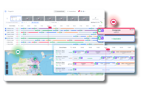
Dispatchers view the live location of the entire fleet alongside active customer orders, dragging and dropping new stops to the closest available operator with a single click.

Why We Choose This Technology?
Cut down on fuel and vehicle wear
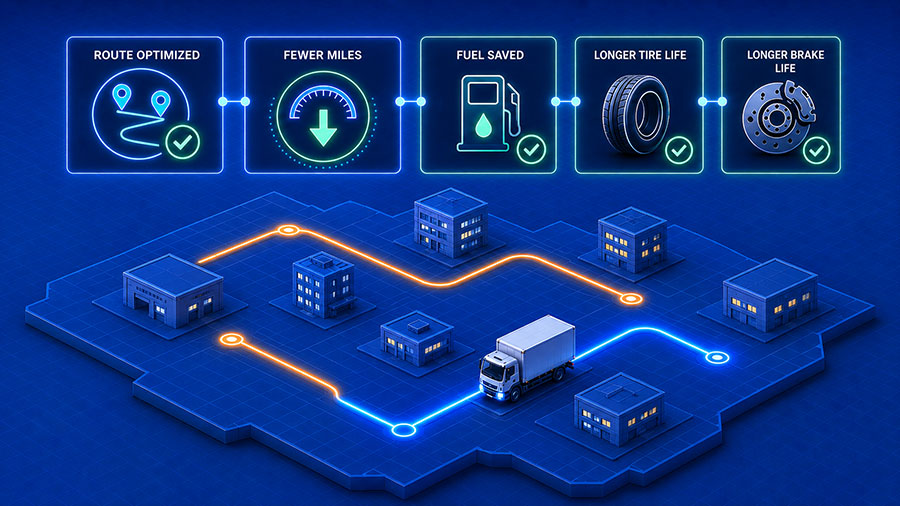
Smart optimization reduces overall mileage across your fleet, resulting in immediate fuel savings and extended tire and brake life cycles.
Get more work done
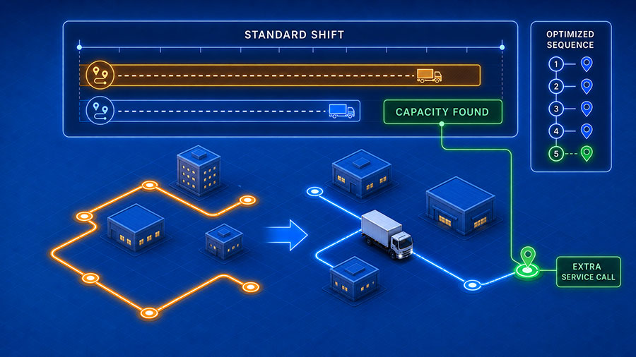
Optimizing the driving sequences reveals hidden capacity, letting you squeeze extra service calls into standard shifts.
Provide accurate customer ETAs
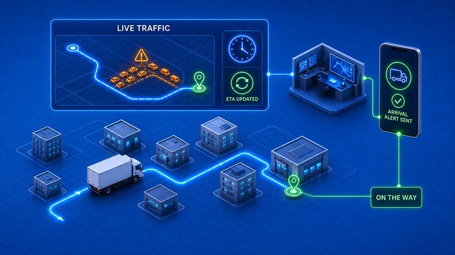
The software recalculates delivery timelines continuously based on real-world traffic data, allowing your office to send automated arrival alerts to clients before your driver pulls up.
Take the stress out of the cab
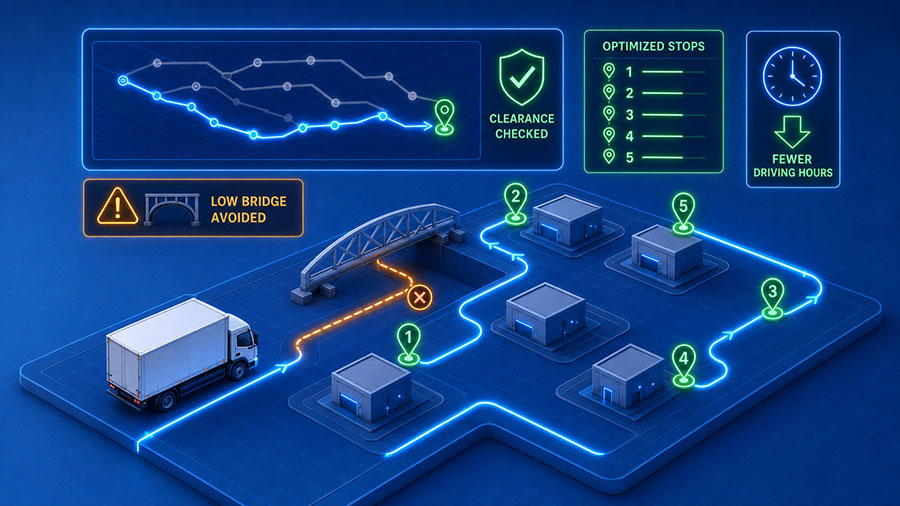
Operators don’t have to guess if a bridge’s clear height accommodates their truck. The system evaluates thousands of route options instantly, generating an optimized sequence of stops to help minimize driving hours.
The Mobilizz Approach: How We Build Your Solution
We study how your fleet moves before setting up your dispatch platform. For public works and heavy transport, we customize your maps to match local road restrictions and infrastructure rules. By linking your routing tools directly to your vehicle trackers, your dispatchers can compare planned routes against live truck locations on one screen.
Provides native routing foundations and commercial zone tools that let you build strict digital boundaries and review planned versus actual route compliance maps.
Our top choice for high-density, multi-stop optimization models that organize complex delivery paths and field service sequences in seconds.
Provides native routing foundations and commercial zone tools that let you build strict digital boundaries and review planned versus actual route compliance maps.
Our top choice for high-density, multi-stop optimization models that organize complex delivery paths and field service sequences in seconds.
Common Concerns & FAQ's
How long does it take for dispatch adjustments to reach our drivers in the field?
The communication loop happens almost instantly. When a dispatcher assigns or modifies a route stop on the main office screen, the update updates on the driver’s mobile app or tablet display within seconds.
Can the software handle specialized routing rules, like keeping left turns to a minimum?
Yes. The optimization engines can be tuned to account for specific parameters, including avoiding hazardous left turns, prioritizing highway driving, or factoring in specific customer time-window restrictions.
Does this software provide commercial-grade routing or just standard car maps?
We deploy specialized commercial navigation. The routing engine evaluates truck-specific restrictions, avoiding narrow residential streets, low-clearance bridges, and weight-restricted zones that standard consumer apps ignore.
What happens if a driver deviates from their planned optimized route sequence?
The system flags route exceptions automatically. Dispatchers can review route compliance reports that highlight exactly where, when, and why a driver strayed from the planned track, helping you spot training opportunities.